Abstract
A workshop on applied spatial analysis and urban informatics.
Spatial and Urban Data Science with PySAL @SciPy22
![]()
Instructors
- Sergio Rey - University of California, Riverside
- Elijah Knaap - University of California, Riverside
Short Description
This repository contains the materials and instructions for the PySAL workshop at SciPy 2022.
Proposed Schedule:
-
Geographic Data Science with Python
- PySAL Overview
- Spatial data processing
- Choropleth mapping and geovisualization
- Break
-
Fundamentals of Spatial Analysis
- Spatial weights
- Global & Local spatial autocorrelation
- Break
-
Applied Spatial Analysis: Neighborhood Analytics
- Clustering/Geodemographic Analysis
- Segregation Analysis
- Break
-
Applied Spatial Analysis: Neighborhood Dynamics
- Modeling neighborhood change
- Measuring spatial and temporal segregation dynamics
Long Description
Fundamentals of Spatial Analysis
PySAL Overview
Brief introduction to the PySAL ecosystem of packages for spatial data science
Spatial data processing
Reading and writing GIS file formats, spatial data wrangling, changing coordinate transformation systems.
Choropleth mapping and geovisualization
Introduction to choropleth map classification using mapclassify. Basic visualization with GeoPandas, and matplotlib as well as interactive visualization via folium, leaflet and geoviews/hvplot,
Hands-on 1 Exploratory Geovisualization
Spatial weights
Introduction to the spatial weights matrix for formally encoding geographic relationships.
Global & Local spatial autocorrelation
Exploratory spatial data analysis and overview of measures of spatial autocorrelation statistics such as Moran’s I and the join-count statistic.
Hands-on 2 Hot-spot detection
Applied Spatial Analysis: Neighborhood Analytics
Exploring socio-spatial differentiation
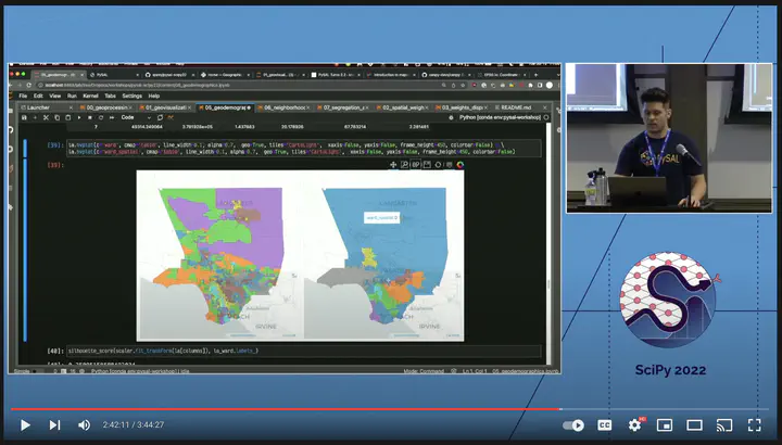
Clustering/Geodemographic Analysis
Introduction to classic and spatially-constrained geodemographics (regionalization). This module provides an overview of integrating scikit-learn and pysal to develop socio-demographic cluster models that optionally include a spatial constraint.
Hands-on 3 Defining Neighborhoods
Segregation Analysis
Applied segregation analysis including the calculation of classic, multigroup, and spatial indices. This module also includes analysis of spatial segregation dynamics, and comparative inference
Applied Spatial Analysis: Neighborhood Dynamics
Neighborhood Change
Introduction to geosnap for creating geodemographic typologies over time and modeling neighborhood transitions
Segregation Dynamics
Examine changes in income segregation over space and time
Hands-on 4 Comparative segregation
Elijah Knaap
Assistant Professor
My research interests include urban inequality, neighborhood dynamics, housing markets, spatial data science, regional science, and housing & land policy.